UMS-SF.GEOLOC Application Development
![]()
UMS-SF.GEOLOC is an android application to track the location using LocationSensor built in the Android Smartphone. The purpose is to identify the accuracy of logged coordinates using GPS or GPS + GSM or GSM only in passive mode.
The Android application will perform a GPS fix and identify the logs of tracked location in the loop structure at infinite fixes. The purpose is to accurately determine the location by issue more locks on satellites. If the number of locking in satellites increases, the more accurate the retrieved positioning information.
The developed app will perform a satellite fix with Android Devices which takes 30-40 seconds to achieve. The fix will also continue whenever the position changed with an event log is enabled. A reasonable time interval for the whole process will be 20000 ms.
This is an initial process of getting a precise location for located farming on-site and then the data will be kept and process for more detail information in future.
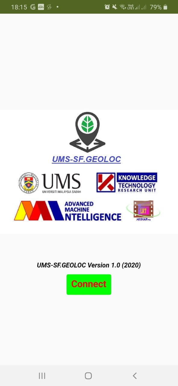
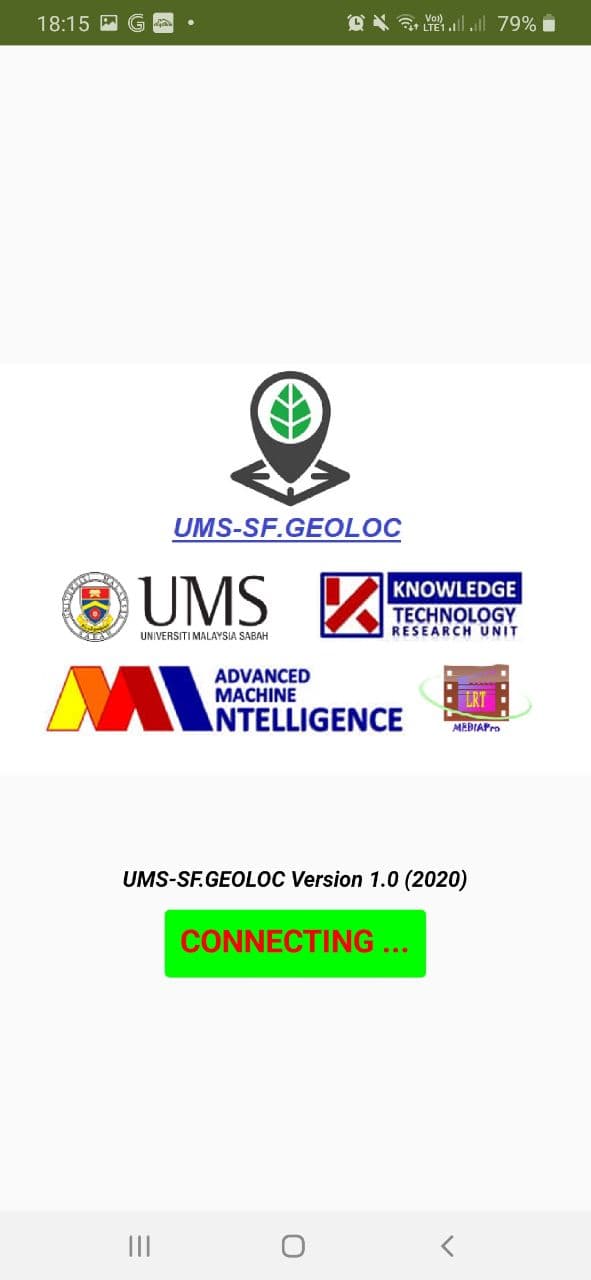
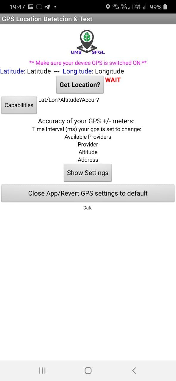
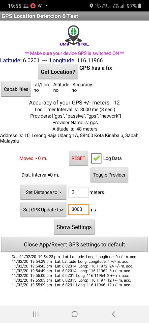
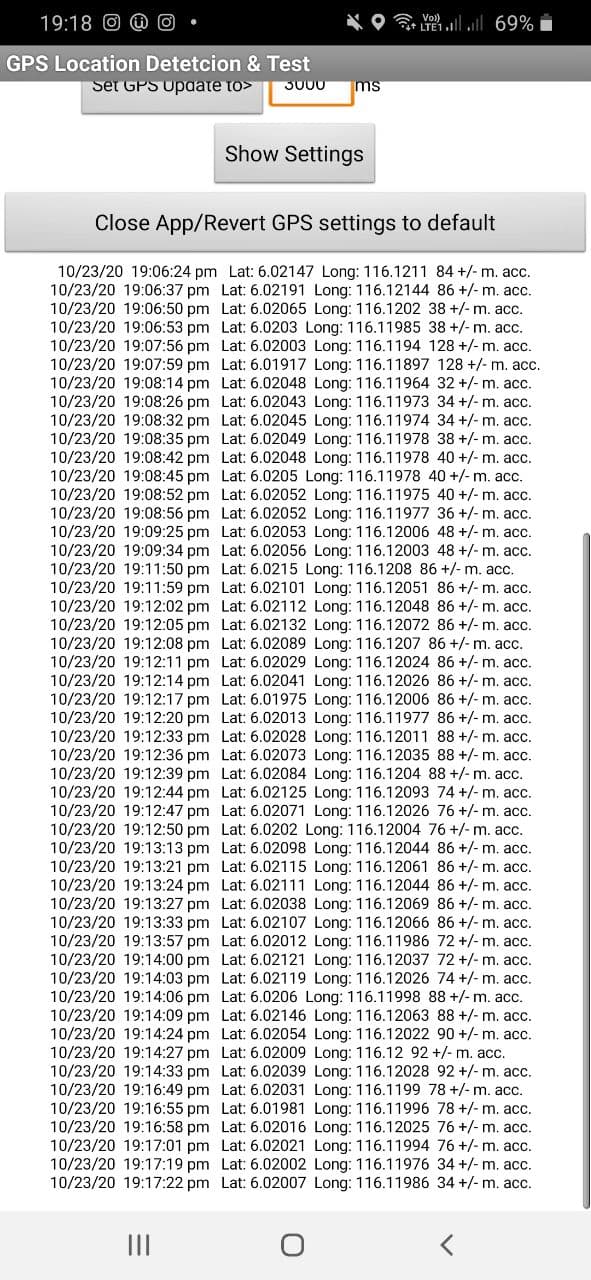
SCREENSHOTS OF THE APPLICATION
Initialise the mobile application, by connecting to a legal service provider.

The main function of the application, GPS perform FIX and Log is enabled to ensure the consistency of a feedback GPS location.
Updated By: